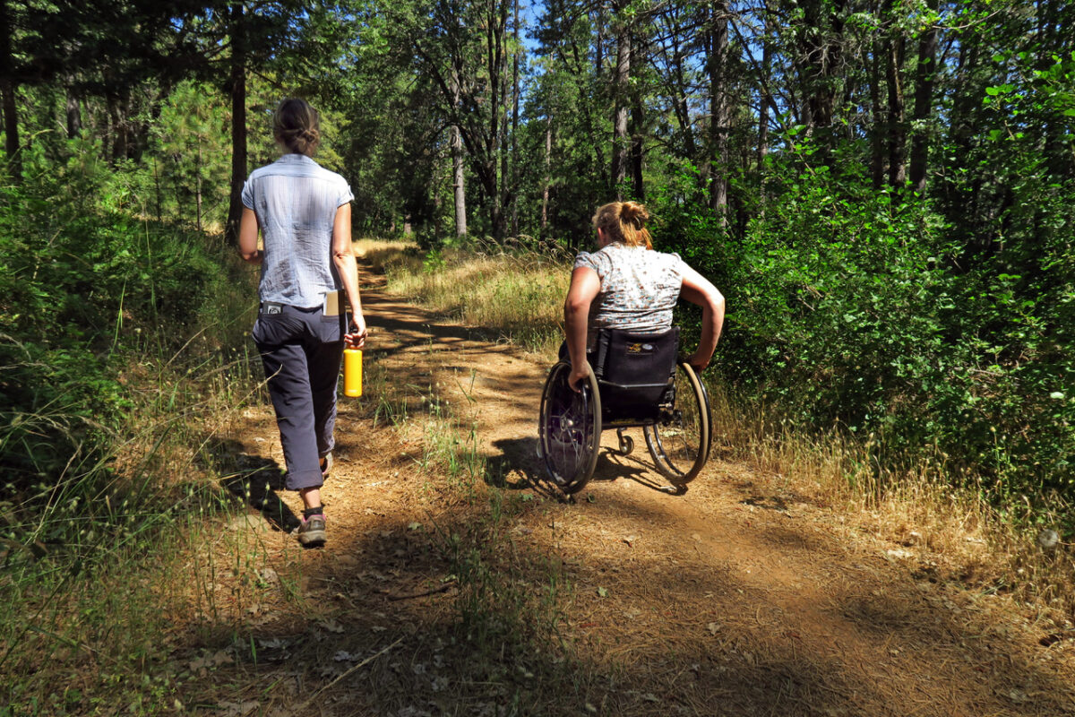
Access to nature and trails is a basic human right. For people living with disabilities, finding access to green spaces that are both welcoming and safe can be an obstacle to spending quality time outdoors. Good news! A number of trails in Nevada County provide opportunities for people of all abilities to connect with nature and enjoy the beauty found in our Northern Sierra Nevada and Foothill communities. Here’s some of our favorite wheelchair accessible trails.
Before You Go
Be sure to do your research in advance of any outdoor adventure to ensure the trails are open and in good working order. Be mindful of weather and road conditions. Recreate responsibly by following the leave no trace ethics. Practice trail safety by dressing appropriately and bringing plenty of water. And always venture out with a friend or let someone know where you will be.
Local Resources
Get to know some of these state, federal, and local organizations who have trail maps and other resources to make your trip a success. FREED Center for Independent Living, Bear Yuba Land Trust, Tahoe National Forest, Visit Truckee Tahoe, Truckee Trails Foundation and California State Parks are all wonderful resources to learn more about all access trails in our community. Trails for EveryBODY is a Sustainable Truckee project that supports all-inclusive, universally designed trails for all shapes, sizes, and physical abilities. If you are looking for accessible camping opportunities, be sure to stop by the Inn Town Campground.
Truckee
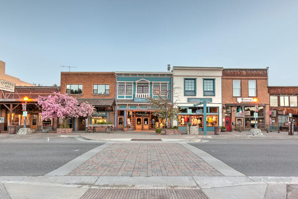
There are 26.6 miles of beautiful, scenic paved paths in Truckee that are wheelchair accessible and suitable for all abilities. Trails are also plowed and snow-free in winter. Check out the Martis Valley Trail, Truckee River Legacy Trail, and Trout Creek Trail!
Two new state of the art dirt trails in Truckee have been specifically designed for all users. Along with these trails, the Tahoe National Forest offers hundreds of miles of scenic dirt and gravel roads for riding. Adaptive mountain bikes will be best suited for this terrain. For route ideas, check out Truckee Tahoe Gravel courses.
Compass Skills Loop
Truckee’s first all-inclusive, adaptive mountain bike skills loop trail is now open. The “Compass Skills Loop” is a one-mile dirt trail, located at the Sawtooth Trailhead, suitable for adaptive mountain bikes (aMTB). The trail is a project of the Truckee Trails Foundation, designed by Steve Wentz of Momentum Trail Concepts and sponsored by Visit Truckee-Tahoe’s Sustainable Truckee initiative.
Ridgeline Nature Trail
Beginning at the Sawtooth Trailhead, the Ridgeline Nature Loop is a flat, one-mile, dirt trail. It’s suitable for people of all ages and abilities, and perfect for families looking for an easy hike with young kiddos. The loop is ADA accessible, accommodating wheelchairs, strollers, and strider bikes. Take in gorgeous views of Truckee, Castle Peak and Donner Summit!
Nevada City
Hirschman Trail has a pond
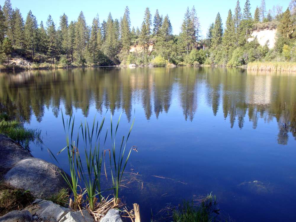
The first quarter mile of this trail is wheelchair-friendly and designed to be accessible to folks of all mobility levels. The .8 mile round trip takes visitors to a scenic pond, a remnant of the 1800s hydraulic mining days. Interpretive signage dots the trail and tells the story of the trail’s history, wildlife, and geology. Be sure to bring your binoculars to view the resident ducks, geese, and if you’re lucky, otters at the pond! Park at the trailhead or at the county government center across the street. Or contact FREED for more info about public transportation that accommodates wheelchairs at (530) 477-3333 or FREEDGrassValley@FREED.org.
Grass Valley
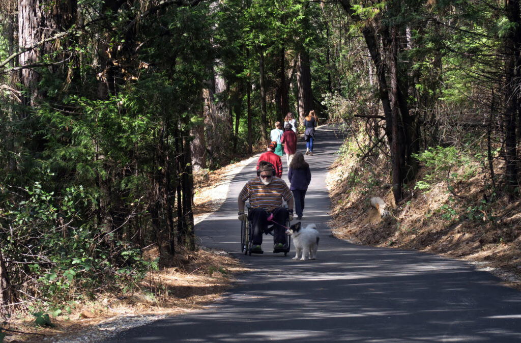
Litton Trail is paved!
A paved section of this forested urban trail from Hughes Road to Sierra College Drive was designed with wheelchair users in mind. Following an NID canal, the trail meanders through a forest of oak, Ponderosa pine, and manzanita making this a tranquil setting any time of year. See if you can identify the California native plants along the trail. Learn more at Bear Yuba Land Trust.
Wolf Creek Trail
Don’t forget the Wolf Creek Trail in Grass Valley. The paved surface of the trail and proximity to Wolf Creek and downtown make this a crowd-pleaser for all users. Opened in 2018, this community trail also known as Daspah Seyo Trail in recognition of the Nisenan who historically made this waterway their home, is a collaborative effort between the City of Grass Valley, Wolf Creek Alliance and Bear Yuba Land Trust. It’s also a great winter hike!
Highway 20
Sierra Discovery Trail
This .7 mile dirt and boardwalk loop trail in the heart of Bear Valley is suitable for wheelchairs with some assistance. The trail winds through big pine, fir, maple, and oak in several types of environments, including stream-side with a small but beautiful waterfall. The trail surface is primarily tamped native soil. Be advised there is some gradual slope on a small part of the trail. Take your time and enjoy the sound of the sweet Bear River, a series of interpretive signs on geology, flora, fauna, history and hydrology. Large parking area with kiosk, picnic area with tables, and vault toilets.
Omega Scenic Overlook
The .6 mile Steephollow trail at the Omega Scenic Overlook gives visitors a chance to identify firs, ponderosa, and Jeffrey pines. A deck perched over the South Yuba canyon has a broad view of the canyon, including historic 1800s hydraulic mine sites like Omega Diggins and nearby Alpha Diggings, a forest fire scar, and vegetation patterns from both natural and man-made forces. It’s also home to one of the best places to take in a sunset in Nevada County. In early summer, look for a beautiful array of white Humboldt Lilies. The Omega Scenic Overlook is located 16 miles east of Nevada City on Highway 20. The site is accessible and rated “moderate” for wheelchairs.
San Juan Ridge
Overlook Trail Malakoff Diggins
A new .13 mile “out and back” all access spur trail between North Bloomfield Road and the Diggins Trail offers a viewing platform with a view of steep, colorful bluffs.
“Too often, all-access trails are afterthoughts, or add-ons and don’t really deliver a quality experience. Not so, with the Overlook Trail which takes you into the Diggins and offers a first-class view of the Malakoff Mine legacy,” said local author Hank Meals. Hank Meals contributed to this report. Read his blog.
Accessible parking is provided at the trailhead along North Bloomfield Road between the West Point Overlook and North Bloomfield. Visit the parks website for more information.
