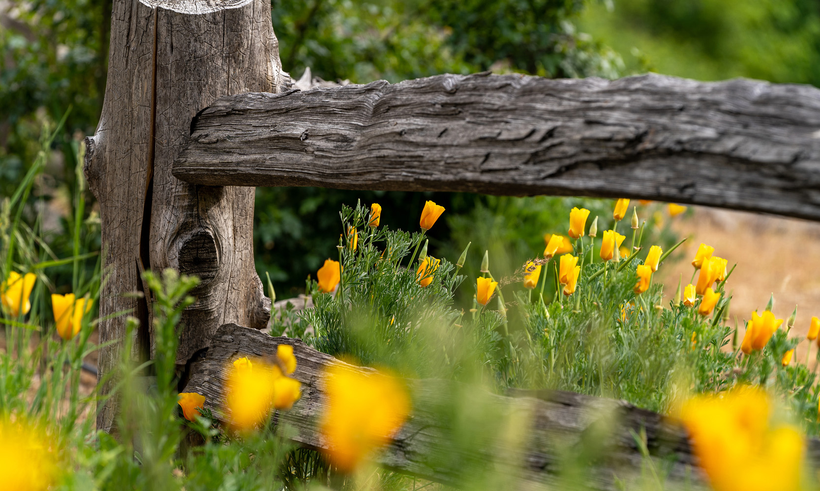
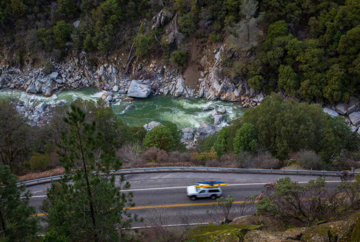
Sweeping curves nestled inside a narrow valley with a roaring Yuba below. Breathtaking sunsets from jaw dropping vistas with commanding views of the Sierra foothills. Fields of wildflowers painting the roadside with vibrant hues. These are just a few of the treasures you’d overlook if you solely focused on getting to the destination instead of relishing the journey. To inspire you to venture out and uncover the hidden gems of Nevada County, here’s a few of our favorite scenic drives. Each promises a different adventure for all who set off on them.
State Highway 20 (between Nevada City and I-80)
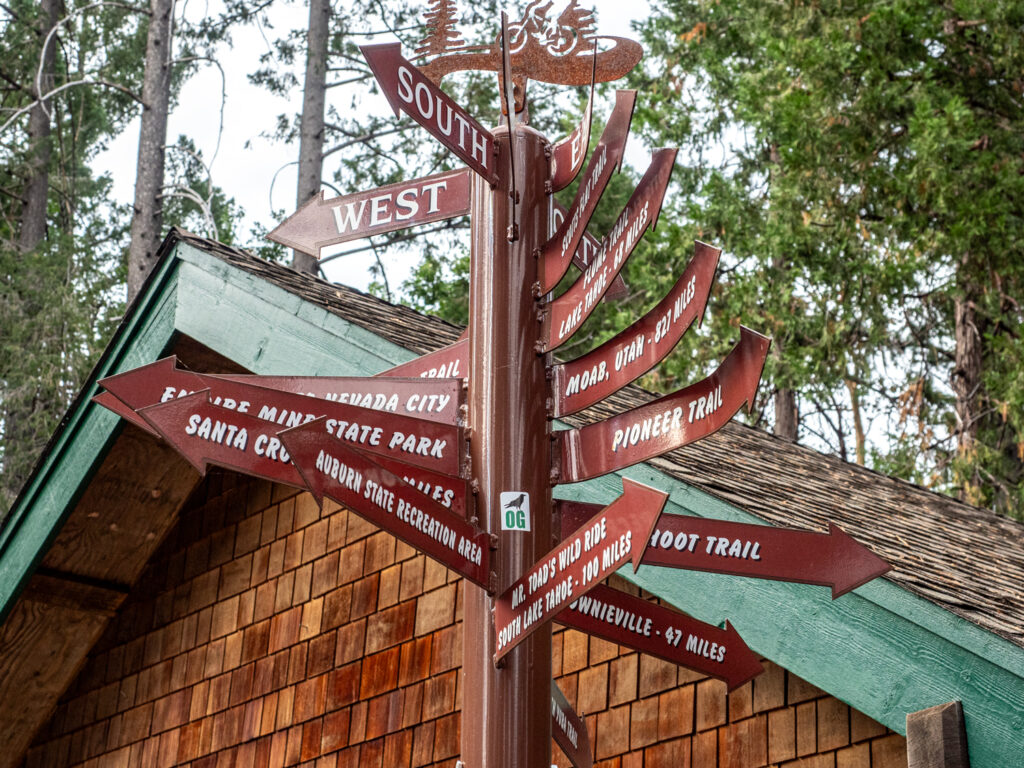
Starting in Nevada City, this route swiftly climbs into the Sierra foothills, mirroring the historic 1850 cutoff of the Emigrant Trail. Although many segments of this road have been graded to help improve driving conditions, you’ll still find immense beauty in the sun dappled road winding thru a deep forest.
A highlight along this route is the Omega Diggins Overlook, one of Nevada County’s top spots to take in a sunset view. There are plenty of enjoyable diversions along the Highway 20 corridor. Embark on the flowy Parliament mountain biking trails. Take a dip in Scotts Flat Lake. Or visit the little town of Washington, where Teddy Roosevelt once enjoyed a cold pint in the hotel that still stands to this day.
Historic US 40
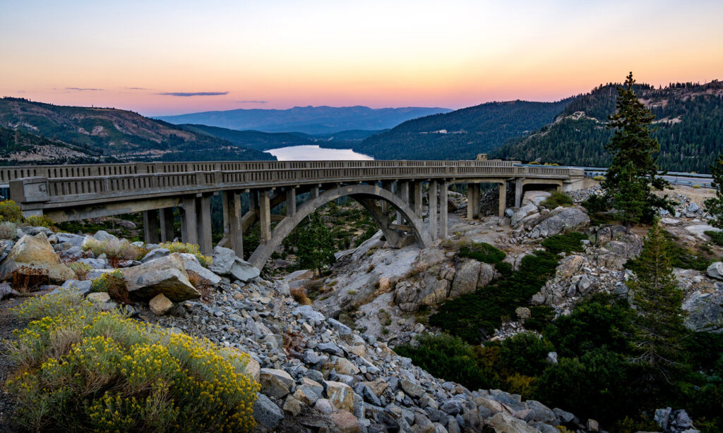
Before the vast network of interstates connected America, there was the iconic Lincoln Highway. It holds the distinction of being the FIRST automobile road to span across the entire width of the United States. One particularly breathtaking stretch begins just outside the historic town of Truckee, winding from Donner Lake up to Donner Summit. Widely regarded as one of the most picturesque drives not only in California but in the entire country, this route offers a glimpse into the past.
Start off your scenic drive with breakfast at one of Truckee’s favorite spots, Donner Lake Kitchen. As you set off, delve into the region’s rich history as part of the 20 Mile Outdoor Museum. Finish it off by marveling at the unique Rainbow Bridge and the panoramic view of Donner Lake. Imagine the awe travelers must’ve felt a century ago as they beheld this same vista.
Still craving more? Step outside your comfort zone and hire a rock climbing guide from NASTC or Tahoe Mountain School. You’ll learn the basics and scale the iconic slabs of Donner Summit, adding an exhilarating dimension to your journey.
State Route 49 (From the 49er Crossing to Empire Mine State Historic Park)
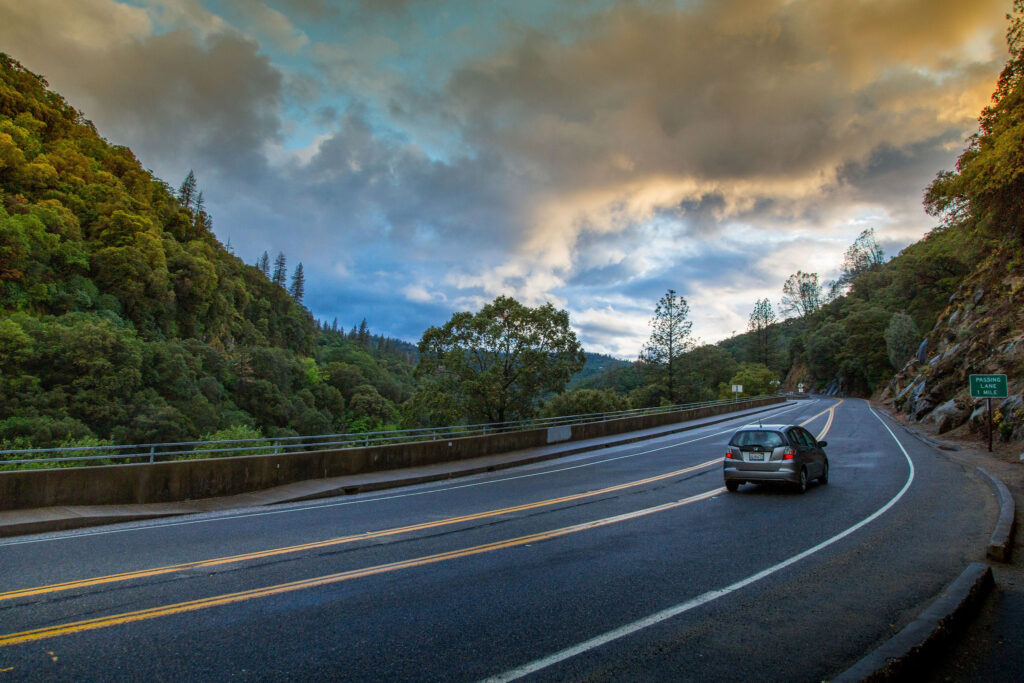
Part of the Golden Chain Highway, this section in particular is where some of the most significant nuggets (pun intended) of 49er Gold Rush history await discovery. Begin your adventure by immersing yourself in the untamed beauty of the South Yuba River known as the 49er Crossing. Don’t miss the chance to admire the river in a different perspective from the old Highway 49 Bridge, now repurposed as a pedestrian walkway and bike path.
Continue your exploration as the route winds through charming historic towns adorned with stately Victorian-era homes and picturesque tree-lined streets, such as Nevada City and Grass Valley. Then conclude your journey with a visit to the Empire Mine, renowned as the richest hard-rock mine in California. Operating from 1850 until its closure in 1956, it yielded a staggering 5.8 million ounces of gold, with an estimated 80% of the precious metal still lying beneath the earth’s surface.
