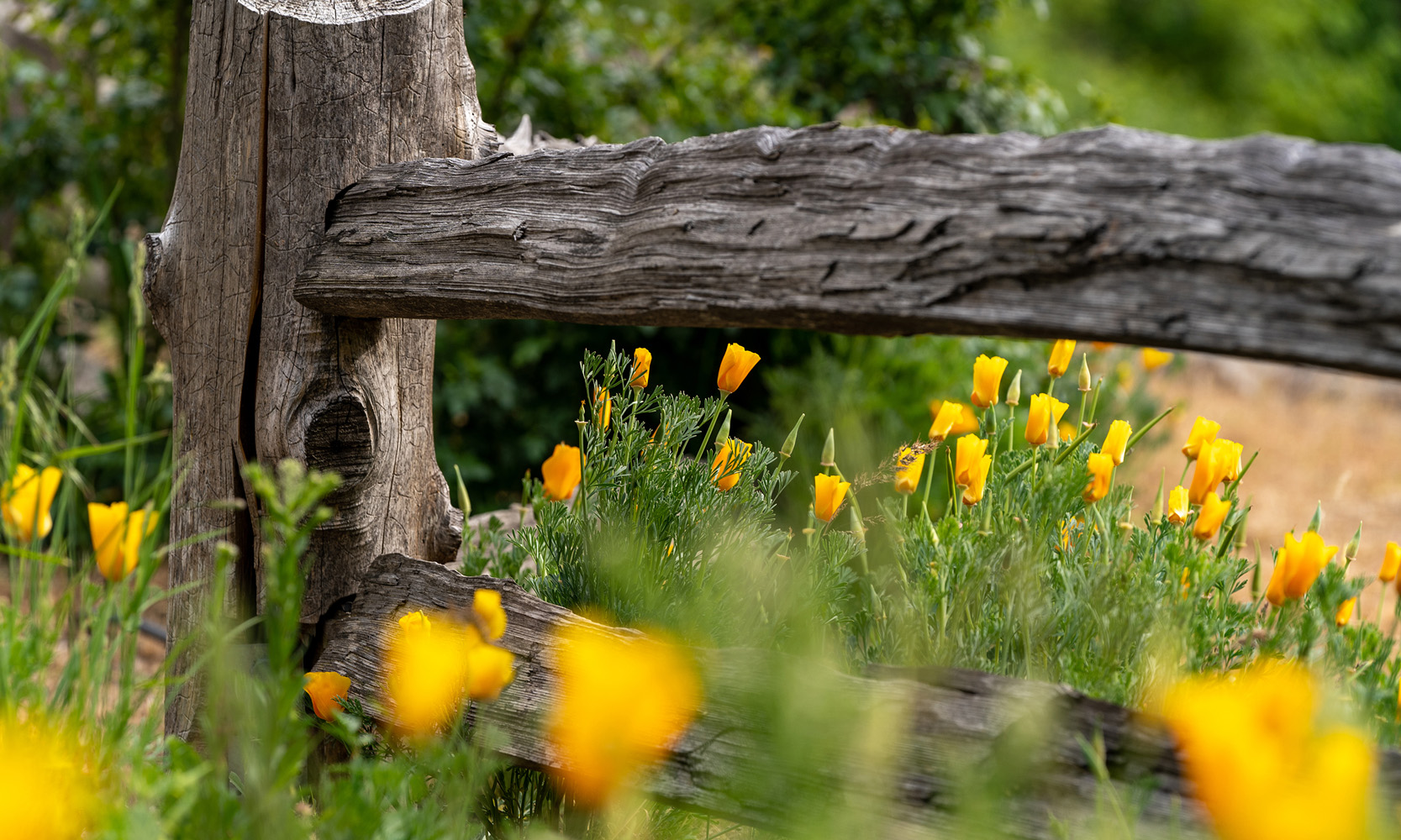

Science has proven that spending time in nature is beneficial to your health. Exposing yourself to the natural world reduces stress, promotes healing, and helps provide a sense of overall well-being. Oak-filled meadows. Mountain summits with great views. An assortment of lakes and streams to take in. If it’s your first time going for a stroll or you’re an ardent lover of the great outdoors, these seven great Nevada County hikes will spark your sense of adventure.
One Hiking Tool To Rule Them All
Nevada County boasts thousands of acres of wilderness waiting to be explored. Finding the perfect trail can be challenging unless you know who manages it… until now. The County has teamed up with Grass Valley, Nevada City, Truckee, California State Parks, California Department of Fish and Wildlife, Tahoe National Forest, Bureau of Land Management, Pacific Gas & Electric, and Bear Yuba Land Trust to create the Nevada County Trail Finder.
This app offers a visual representation of the region’s trails, allowing you to filter based on activities, trail length, and surface type. Whether you’re a local or just visiting, this tool will help you connect with nature right from your doorstep.
Hirschman Trail
Length: 4 miles (Out and Back); Difficulty: Easy
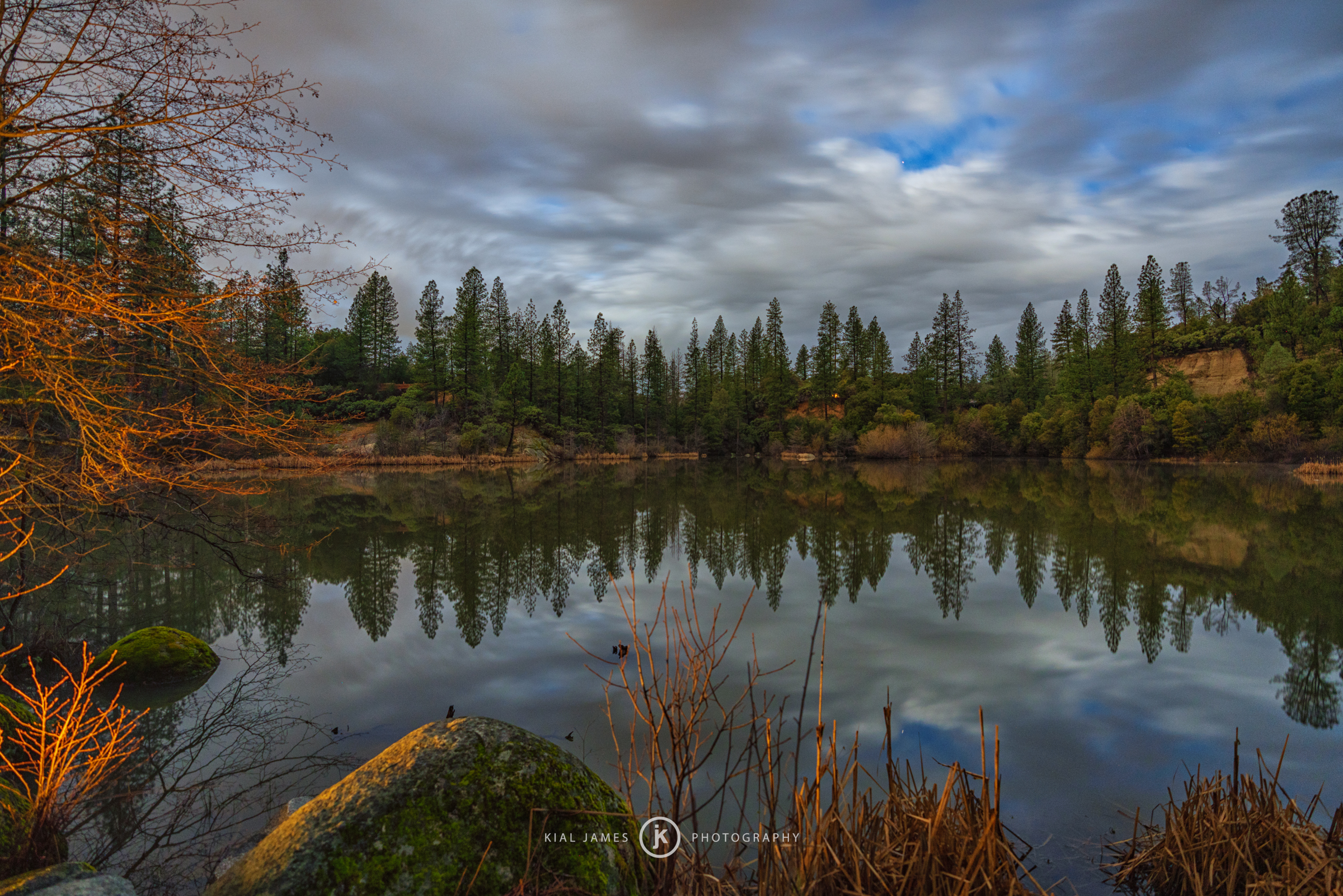
If you’re looking for an easy, stress-free kid friendly hike to expose your young ones to the great outdoors, this is a perfect option. Located just a mile outside the beating heart of Nevada City, this little gem provides everyone an opportunity to enjoy forests filled with pines and black oaks as well as a pond. One of the highlights on the trail is a 40-foot-long trestle built in the same style and technique the railroads used in the late 1800’s. This is also a great trail for those who want to go for a jog or leisurely walk.
Diggins Loop Trail
Length: 2.6 miles (Loop); Difficulty: Easy
Within Malakoff Diggins State Historic Park, there are over 20 miles of scenic trails winding through pine forests and offering stunning vistas of the area. A highlight of the Park is the Diggins Loop, which traverses the site of the largest hydraulic gold mining operation. The loop’s overlook provides a bird’s-eye view of the dramatic canyon scar caused by this type of mining in the mid-1800s.
Deer Creek Tribute Trail System
Length: Up To 7.9 Miles (Depending on route); Difficulty: Easy / Moderate
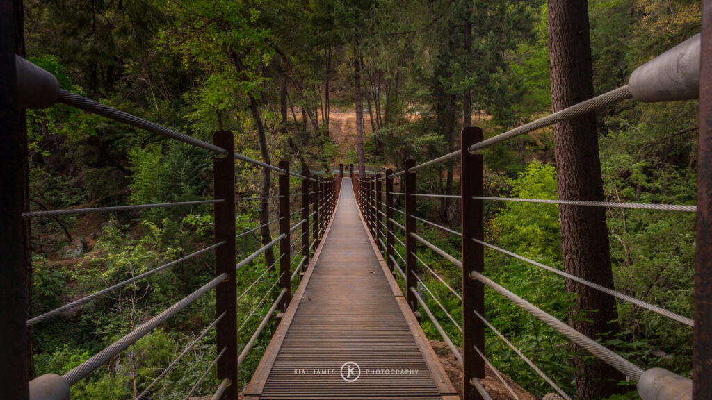
Depending on where you start, the mileage can increase to almost eight miles in distance. Following the creek that Nevada City was built around (a tributary of the Yuba), the trail is a mix of backroads, paved sections, and even dirt paths. Along the way, you’ll get a better understanding of the county’s history as well as the natural beauty via interpretive trail signs. A highlight on the Deer Creek Trail system is two footbridges that cross it.
Cascade Canal Trail
Length: 8.6 miles (Out and Back); Difficulty: Easy / Moderate
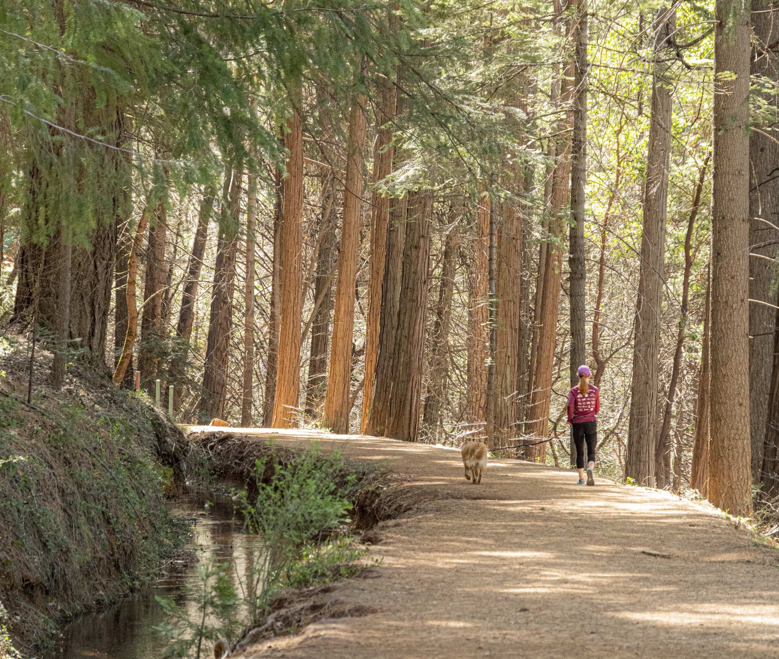
At an elevation of 3,200’ above sea level, this shaded trail follows the sinewy path of the Cascade Canal and offers cooler temps compared to other trails in the area due to its altitude. This reasonably flat excursion is under a canopy of Douglas firs and dogwoods. The fall gifts you with changing colors. While the spring provides beautiful wildflower bouquets. The best viewpoint is ¼ mile east of the Orene Wetherall trailhead. From here, you get a bird’s eye view of downtown Nevada City and the ridges beyond.
Note: If your dog doesn’t like loud sounds, be aware there is a gun range adjacent to the trail approximately four miles in.
Hardrock Trail
Length: 1.6 miles (one-way); Difficulty: Easy
Nevada County is unique in that it is home to four state parks, each offering one-of-a-kind attractions and hiking opportunities. Just outside the town of Grass Valley is the Empire Mine State Park and the Hardrock Trail.
The park sits on what was originally a complex of several mines, later consolidated into the “richest hardrock gold mine in California.” Today, the trail is named in its honor and winds through remnants of this mining past, such as the foundations of the Orleans Mine stamp mill and various other artifacts including decaying mining equipment.
Donner Lake Rim Trail: Castle Valley To Donner Ridge
Length: 15.6 Miles (Out and Back); Difficulty: Challenging
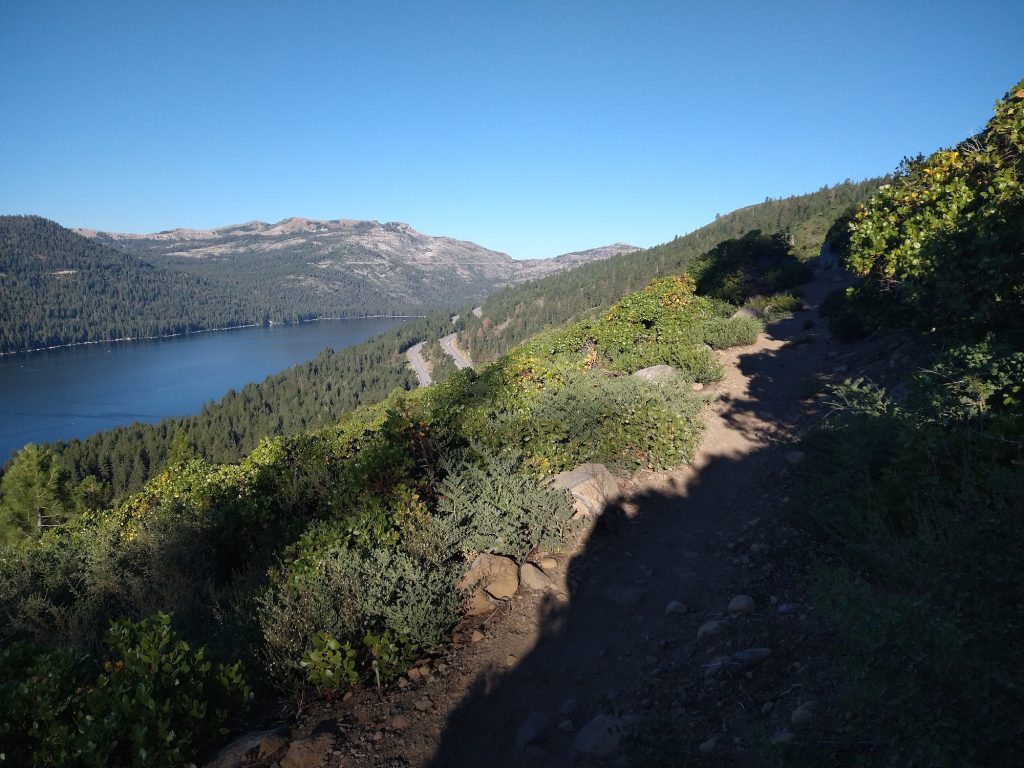
Not to be mistaken for the “TRT”, the Donner Lake Rim Trail or “DLRT” is designed as a 23-mile multi-use trail on the mountains and ridges surrounding Donner Lake. Currently, there are fifteen miles built with nine accessible via bike. It is and will be a literal cornucopia of easy, moderate, and challenging segments. There are multiple ways to access the trail including the Castle Valley trailhead from Donner Summit. Over the length of this gem that climbs more than 2,000 vertical feet, you’ll find jaw-dropping views of Donner Lake, the High Sierra, and even the Pacific Crest. You can even start from the Trout Creek trailhead just west of downtown Truckee. Not enough? Here’s a few more ideas of hiking & trail running surrounding the historic High Sierra town of Truckee.
Ridgeline Nature Loop
Length: 1 mile; Difficulty Easy
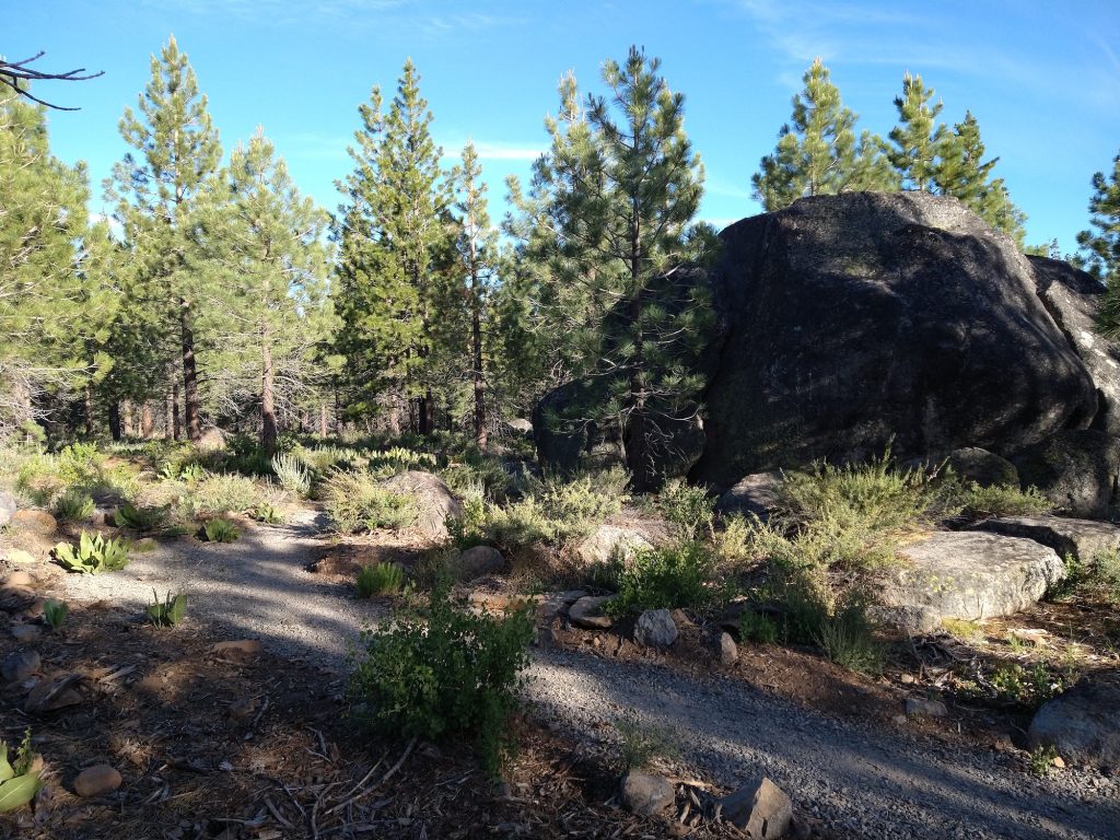
If some of these look a bit long or challenging for your 1st wilderness experience, consider the Ridgeline Nature Loop. Starting at the Sawtooth trailhead, the flat dirt path will provide the tranquility and peacefulness that even Henry David Thoreau would appreciate. It’s suitable for people of all ages, abilities, as well as families looking for an easy hike with young kiddos. The loop is ADA accessible, accommodating wheel chairs, strollers, and strider bikes. Most of all, be sure to stop at the halfway point and take in gorgeous views of Truckee, Castle Peak, and Donner Summit at the scenic overlook. If you want to find more trails that are all-inclusive and universally designed for all shapes, sizes, and abilities, be sure to visit Visit Truckee-Tahoe’s Trails for EveryBODY™.
Take that first step into these Nevada County hikes. As John Muir so eloquently stated,
“Between every two pines is a doorway to a new world.”